Official tourism website for Mourne Mountains and Ring of Gullion
En

Famine Wall Walk - Mountain Ways Ireland

Slieve Gullion Forest Park, 89 Drumintee Road, Meigh, County Armagh, BT35 8SW
Famine Wall Walk - Mountain Ways Ireland

Book Tickets Online

About

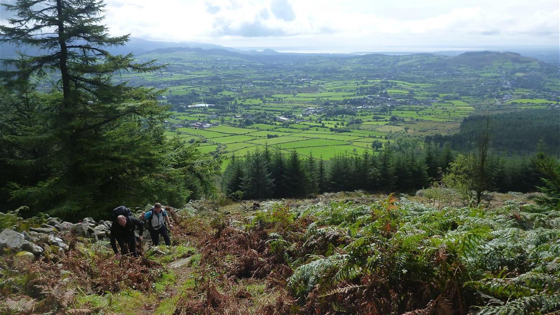
Join our guides for a fascinating walk visiting the Famine Walls on Armagh’s highest mountain, Slieve Gullion.

The Great famine of 1845 was an event that shaped Irish history. After three devastating years of failed potato crops, the people were starving by the roadsides.

In a controversial attempt to help some of the starving and destitute, the government responded by purchasing meal which people could buy by earning a small wage through a public works programme that involved the building of walls, roads, etc.

Slieve Gullion’s wall was one such scheme. Mountain Ways Ireland will guide you as we trace the famine walls which mark some of the townland boundaries of this area. The walk continues to reach the highest surviving Neolithic passage tomb in Ireland. Visit the magical Mountain top lake and listen to the stories of the famous Caillaigh Beara, the old witch who inhabited the mountain deep in Ireland’s ancient past.

Facilities

Establishment Features

  • Groups catered for
  • Online Booking
  • Prior Booking Required

Payment Methods

  • All major credit/debit cards accepted
  • Euros accepted

Guide Prices

Prices on request

Add Famine Wall Walk - Mountain Ways Ireland to your Itinerary

Check availability for Famine Wall Walk - Mountain Ways Ireland (opens in a new window)

Close window

Call direct on:

Tel +44 (0) 28 3057 0220

Map & Directions

Opening Times

* All year round

What's Nearby

  1. The Slieve Gullion Forest Trail, a magnificent 10km Scenic Forest Drive will be…

    0.38 miles away
  2. Follow Fionn's Giant Adventure (previously known as the Giant's Lair) at Slieve Gullion…

    0.38 miles away
  3. Slieve Gullion Forest Park offers the unmissable opportunity to experience tranquil…

    0.38 miles away
  1. Slieve Gullion Passage Tomb, dramatically situated on the southern end of the Slieve…

    0.38 miles away
  2. Slieve Gullion Forest Park is in the heart of the Ring of Gullion. The Ring of Gullion is…

    0.38 miles away
  3. Slieve Gullion is Ireland's Mountain of Mystery. Slieve Gullion Forest Park offers…

    0.38 miles away
  4. This unusual megalithic monument is set on the eastern edge of a low ridge, overlooked by…

    0.67 miles away
  5. The site contains two early churches situated back to back. Even earlier, it was the…

    1.51 miles away
  6. This Neolithic burial site, dated between 4000 and 2500 BC, has a huge capstone,…

    3.04 miles away
  7. This monument is an extremely well preserved Neolithic burial site with three chambers. …

    3.11 miles away
  8. Kilnassagart Inscribed Stone, in the south of County Armagh, is regarded as being one of…

    3.21 miles away
  9. South of the County Armagh village of Jonesborough lie the ruins of Moyry Castle, built…

    3.26 miles away
  10. Known locally as the ‘King’s Ring’, this court tomb has a prominent position in the…

    3.56 miles away
  11. Bagenal’s Castle located in historic Newry is a 16th century fortified house and…

    4.95 miles away
  12. Leisleitrim Fort is a fine example of a multivallate rath ( a rath with several banks and…

    4.99 miles away
  13. Corliss Fort is one of the best-preserved bivallate raths in County Armagh.

    4.99 miles away
Previous Next

Map & Directions

View Maps and Visitor Guides
View what the Mourne Mountains & Ring of Gullion has to offer and some of the best things to see and do during a visit.
E-newsletter sign up
Sign up for the Mourne Mountains & Ring of Gullion newsletter for inspiration and travel tips.
Back to Top

Visit Mourne

Tourism Northern Ireland

Geopark

Don't Miss