Official tourism website for Mourne Mountains and Ring of Gullion
En

Slieve Donard Guided Hike

5 Donard Park, Newcastle, County Down, BT33 0HL
Slieve Donard

About

Slieve Donard

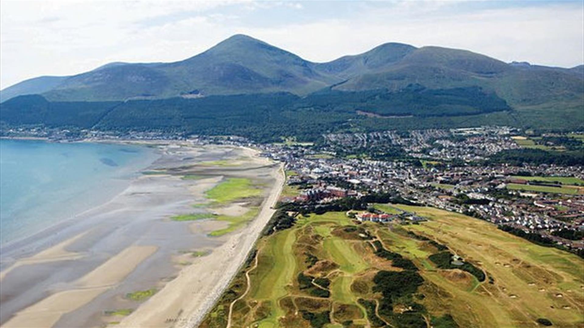
Northern Ireland's highest peak, Slieve Donard (852 metres).Embrace the spectacular views and see if you can spot the Isle of Man in the distance while Peter explains diverse rock types and the surprising plant life found on the Mournes. Admire the truly impressive Mourne Wall that was made entirely from hand between 1904 and 1922 as a 1.5-metre high granite, dry stone wall that extends across 35 kilometres and 15 different mountains. Continue to the summit of Slieve Donard while Peter explains the techniques used in its construction and relates the hardship endured by the men who built it.

Guided walk/hike of Slieve Donard Northern Ireland's highest peak:

- Spectacular views

- Distance: approx. 6 miles (10km) / relaxed pace with breaks along the way and time for lunch.

- Grade: Difficult. Good level of fitness necessary.

Facilities

Event Facilities

  • Booking Required

Parking & Transport

  • On site parking

Guide Prices

Ticket TypeTicket Tariff
Ticket£39.00 per ticket

Please contact the organiser for any further information that's required.

Book Tickets Online

Add Slieve Donard Guided Hike to your Itinerary

Check availability for Slieve Donard Guided Hike (opens in a new window)

Close window

Call direct on:

Tel +44 (0) 79 7476 8831

Map & Directions

Opening Times

Sorry, this event has passed

What's Nearby

  1. The Mourne Wall is 22 miles long and consists of natural granite stone which was…

    0.05 miles away
  2. Donard park is a beautiful park located in the lovely town of Newcastle County Down, next…

    0.09 miles away
  3. The Mourne Area of Outstanding Natural Beauty is located in the south-east corner of…

    0.18 miles away
  1. The High Mournes Scenic Loop delves into the very heart of the famous Mourne Mountains…

    0.26 miles away
  2. The Mourne Coastal Route has a few start off points from the County Down coastline,…

    0.26 miles away
  3. Newcastle's Parks consist of outdoor facilities at the Castle and Island parks. Castle…

    0.27 miles away
  4. Newcastle is a small drying harbour with fixed fore/aft moorings and consists of two…

    0.26 miles away
  5. The Shimna River is a river in County Down, Northern Ireland. It rises on the slopes of…

    0.34 miles away
  6. Newcastle Beach is a popular seaside resort and tourist destination located on the South…

    0.62 miles away
  7. Maghera Church and Round Tower is of major historical importance and is among many…

    2.2 miles away
  8. Tollymore Forest Park has panoramic views of the surrounding mountains and the sea at…

    2.26 miles away
  9. This 5 mile stretch of golden sands is still the essence of the resort and is hugely…

    2.28 miles away
  10. Murlough National Nature Reserve is a fragile 6000 year old sand dune system owned by the…

    2.8 miles away
  11. The Maize Maze is the only one of its kind in Northern Ireland. A massive 6 acre field of…

    3.39 miles away
  12. Set in spectacular surroundings overlooking Dundrum inner Bay these fine Georgian…

    3.88 miles away
  13. A small car park for visitors is located off the Drumnaquoile Road and an extensive…

    4.07 miles away
Previous Next

Map & Directions

View Maps and Visitor Guides
View what the Mourne Mountains & Ring of Gullion has to offer and some of the best things to see and do during a visit.
E-newsletter sign up
Sign up for the Mourne Mountains & Ring of Gullion newsletter for inspiration and travel tips.
Back to Top

Visit Mourne

Tourism Northern Ireland

Geopark

Don't Miss