Book Tickets Online
About
What is the Ulster Way?
The Ulster Way is a 636 mile (1,024km) circular walking route taking in the six counties of Northern Ireland. The Ulster Way forms one of the longest waymarked trails in the British Isles and is popular with both locals and international walkers alike.
Where is the Ulster Way?
The Ulster Way covers the south east of Northern Ireland including Belfast, Lisburn, Armagh, Newry, Strangford Lough, and Lough Neagh.
How long does it take to walk the Ulster Way?
It takes approximately three weeks to walk the Ulster Way (average of 20 miles walking per day) although factors like the weather and levels of fitness must be taken into consideration.
For the section of the Ulster Way in the Mourne Mountains, follows the route and signage for the Mourne Way.
Mourne Way
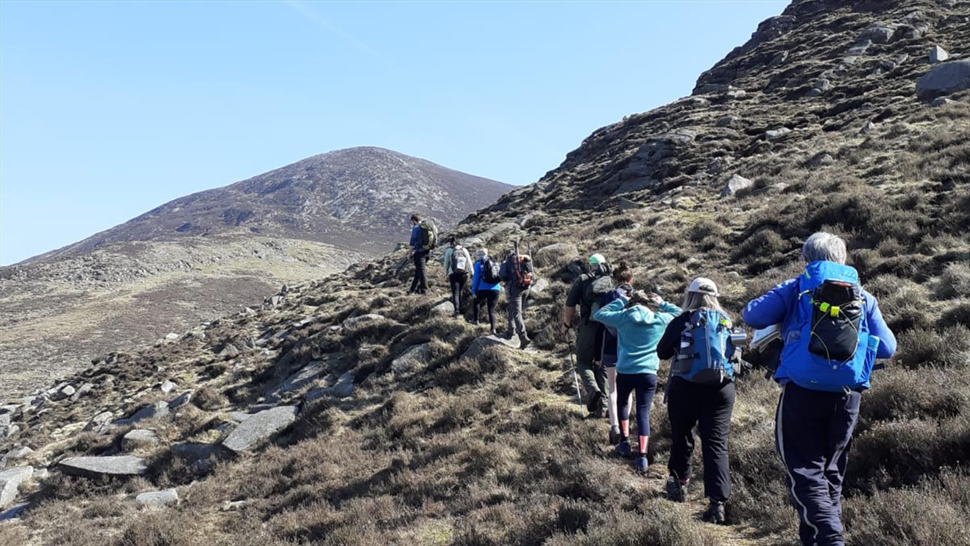
A challenging yet rewarding two-day walk from the coast, across the edge of the Mourne Mountains and back to the sea at the opposite side of the range. This route crosses open hill side with no waymarking so walkers should be adequately prepared.
Distance: 26 miles (42km)
Newry Canal Way
An enjoyable flat walking route alongside the Newry Canal taking in pretty villages, an abundance of wildlife and lock gates that link you to the history of the area.
Distance: 17.5 miles (28km)
Ulster Way Long Distance Walk
Click here to view the Ulster Way Long Distance walk (opens in new window).
Book Tickets
Facilities
Establishment Features
- Self guided walks/cycle rides


