Book Tickets Online
About
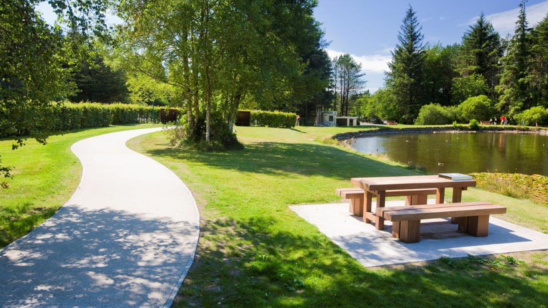
Enjoy the tranquillity of Silent Valley Mountain Park in the heart of the Mourne Mountains. Follow a trail to submerge in the beauty of the park. Find out about the industrial heritage which gave rise to the magnificent dams and shaped the surrounding landscape.
Silent Valley Augmented Reality App and Podcasts
Step back in time and enjoy the rich heritage of the Silent Valley with an exciting augmented reality app. Allow our historic tour guides to take you back to the 1930s, submerging yourself in the history of the park. Learn about the industrial heritage which gave rise to the magnificent Silent Valley dam and the Binnian Tunnel – amazing feats of engineering that shaped this spectacular area of the Mourne landscape.
Podcasts are available from NIWater.com. Click here for more information and to download the podcasts to listen to as you journey around the Silent Valley Trails.
Walking Trails at the Silent Valley Mountain Park
All trails start and end in the main Car Park.
Ben Crom Dam Walk
Distance: 10km (6.2 miles) - return
Route description: This linear route follows the tarmac road from Silent Valley to Ben Crom Reservoir and passes the exit of the Bignian Tunnel (9), which was built (1949 – 1958) to carry water from the Annalong River to Silent Valley. Teams worked from either end of the tunnel and when they met in the middle, they were only 5cm apart!
Click here to find out more
Heritage Trail
Distance: 2.4km (1.5 miles)
Route description: Circular route including views over the dam into the mountains. Find out more about Silent Valley at the Interpretive Centre, which was the site of the original Police Station. Interest points Public Art Piece – 'The Mourne Hand' incorporates the story of stone, water and the resilient, skilled men of Mourne who built the dam with “hands like shovels”. Commemorating the men who tragically lost their lives in the construction of the reservoirs.
Click here to find out more
Reservoir Trail
Distance: 1.7km (1 mile) - return
Route description: This trail highlights the engineering hub of the dam and gives a taste of the high Mournes with a backdrop of the Mourne Wall (Built 1904– 1922) which defines the boundary of NI Water’s catchment area, stretching over 22 miles and 17 peaks.
Interest points: Trenches had to be built into the earth to prevent water seepage from under the dam. Filter Plant This facility was used to screen raw water, a process that is now carried out by the Drumaroad Water Treatment Works. Boat House Water overflow from the dam is directed under the dam wall to the Boat House where it joins the Kilkeel River. Overflow, a massive plug hole, 25 m deep, prevents the dam from flowing over. Valve Tower this controls the out flow of water from the dam.
Click here to find out more
Mountain Trail
Distance: 10km (6.2 miles)
Route description: Enjoy the stunning scenery along this trail which incorporates steep climbs through typical Mourne upland habitat and woodland trails. Look out for the site of Watertown Site and the Pugmill.
Click here to find out more
Challenge Trail
Distance: 3km (1.8 miles)
Route description: This scenic trail passes through some steep upland habitat and park woodland.
Interest points: Cornish workers came here to prospect for silver and lead. Their singing and laughter may be the reason why the Silent Valley was formerly known as ‘Happy Valley’. A great place to see the heather bloom or glimpse birdlife such as ravens, wheatears, skylarks and if you’re lucky, peregrine falcons. Rest at the Shelter Seats by Sally Lough which replicate those used by the stone cutters to protect them from the bitter wind and rain. A temporary village known as ‘Watertown’ was constructed to house the 2000 strong workforce. At its peak it had a shop, cinema, hospital and dance hall as well as the first street lights in the island of Ireland. Clay was ground up here to remove stones to ensure it was watertight to build the dam embankment wall.
Click here to find out more
Click here for more information about the Silent Valley Mountain Park
Map of the Silent Valley Trails
Book Tickets
Facilities
Establishment Features
- Family Fun
Guide Prices
Car £4.50
Coach £27
Minibus £11
Annual Pass
If you visit on a regular basis you may benefit from an Annual Pass. The current price is £20 for a car pass and £50 for a minibus pass (up to 16 passengers) which will allow entry during normal opening hours for one year. Details on the Water Service website.
Motor Cycle £2
Foot £1.60
Child £0.60
Season Ticket £19.57


%20(1920%20%c3%97%202000px).png)


