Official tourism website for Mourne Mountains and Ring of Gullion
En

Rostrevor - Cloughmore Stone

Co Down
Rostrevor - Cloughmore Stone

Book Tickets Online

About

The Cloughmore car park is 230m above sea level and provides views of the surrounding forest. There are three waymarked trails, which vary in length from 1.25 miles to 4.5 miles, and take the visitor to various areas within the forest to enjoy the many magnificent views and beauty of the woodlands.

The area has been declared a National Nature Reserve and more recently an Area of Special Scientific Interest.

Start Point:
J195174

Finish Point:
J195174

Route:
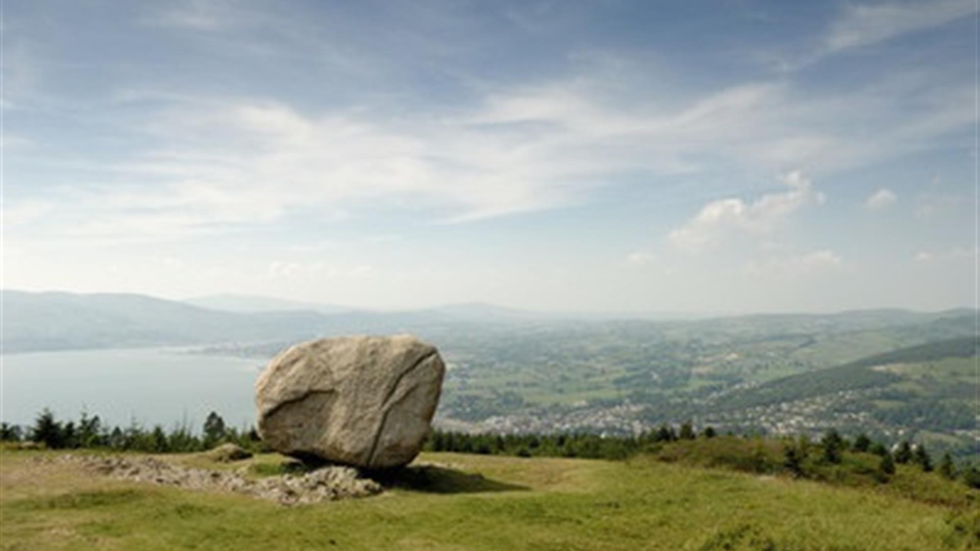
From the car park follow the signs up a steep hill to the Cloughmore Stone. There are great views from here over Carlingford Lough. From here retrace your steps back to the car park. These walks are situated in a working forest environment and may be subject to diversion and closure from time to time. Up to date information is available on the Forest Service web site - link below.

Distance:
0.4 (One Way) miles

Terrain:
Moderate, steep in places

Point of interest:
Views of Mourne Mountains, Cloughmore Stone

Facilities:
Car parking and picnic facilities, refreshments and toilets are availble at Kilbroney park.

Nearest town:
Rostrevor

OS map:
Sheet 29

Accessible toilet facilities:
Yes

Accessible terrain:
No. Off-road paths, very steep in places. Gate at the start of the walk.

Book Tickets

Facilities

Provider Preferences

  • Free (parking charges may apply)

Map & Directions

What's Nearby

  1. This beautiful area has superb views and good walking routes over Carlingford Lough.…

    0.66 miles away
  2. Kilbroney Park features riverside walks and an arboretum. There is a two-mile forest…

    0.8 miles away
  3. 'Cill Bhronaigh', or Bronagh’s Church (12th century), is located in the graveyard just…

    1.38 miles away
  1. Our play farm offers a huge indoor soft play area with four dragon slides and a massive…

    2.87 miles away
  2. Warrenpoint Beach is located alongside the Mourne Mountains on the shores of Carlingford…

    3.12 miles away
  3. Excellent example of a tower-house and bawn built about 1568 at a point where the Newry…

    4.54 miles away
  4. "Where the Mountains of Mourne sweep down to the sea" (Percy French) The popular song has…

    4.54 miles away
  5. Commanding the mouth of Carlingford Lough, the Castle has an eventful history. It was…

    4.68 miles away
  6. Cranfield West offers a gently sloping, mainly sandy beach located at the entrance to…

    5.95 miles away
  7. Known locally as the ‘King’s Ring’, this court tomb has a prominent position in the…

    6.16 miles away
  8. The Silent Valley Reservoir was built to gather water from the Mourne Mountains and is…

    7.16 miles away
  9. Provides a first class service for visitors to Northern Ireland and for local residents.

    7.33 miles away
  10. The Nautilus Centre overlooks Kilkeel's busy and picturesque fishing port and houses the…

    7.44 miles away
  11. Spelga Dam Reservoir sits in the heart of the Mourne Mountains, located approximately 10…

    7.52 miles away
  12. The Electric Brae is a hill at which Newton's discovery, the law of gravity, is defied…

    7.52 miles away
  13. Indoor Golf Simulators powered by Trackman

    7.8 miles away
Previous Next

Map & Directions

Road Directions

From Rostrevor follow the signs to Rostrevor Forest & Kilbroney. Once inside the forest, follow the tarmac road uphill to the second car park (located 230 above sea level). This is accessed via a one-way system). The first car park passed is at Kilbroney and has toilets and cafe.

Public Transport Directions

Translink - journeyplanner.translink.co.uk

View Maps and Visitor Guides
View what the Mourne Mountains & Ring of Gullion has to offer and some of the best things to see and do during a visit.
E-newsletter sign up
Sign up for the Mourne Mountains & Ring of Gullion newsletter for inspiration and travel tips.
Back to Top

Visit Mourne

Tourism Northern Ireland

Geopark

Don't Miss