Book Tickets Online
About
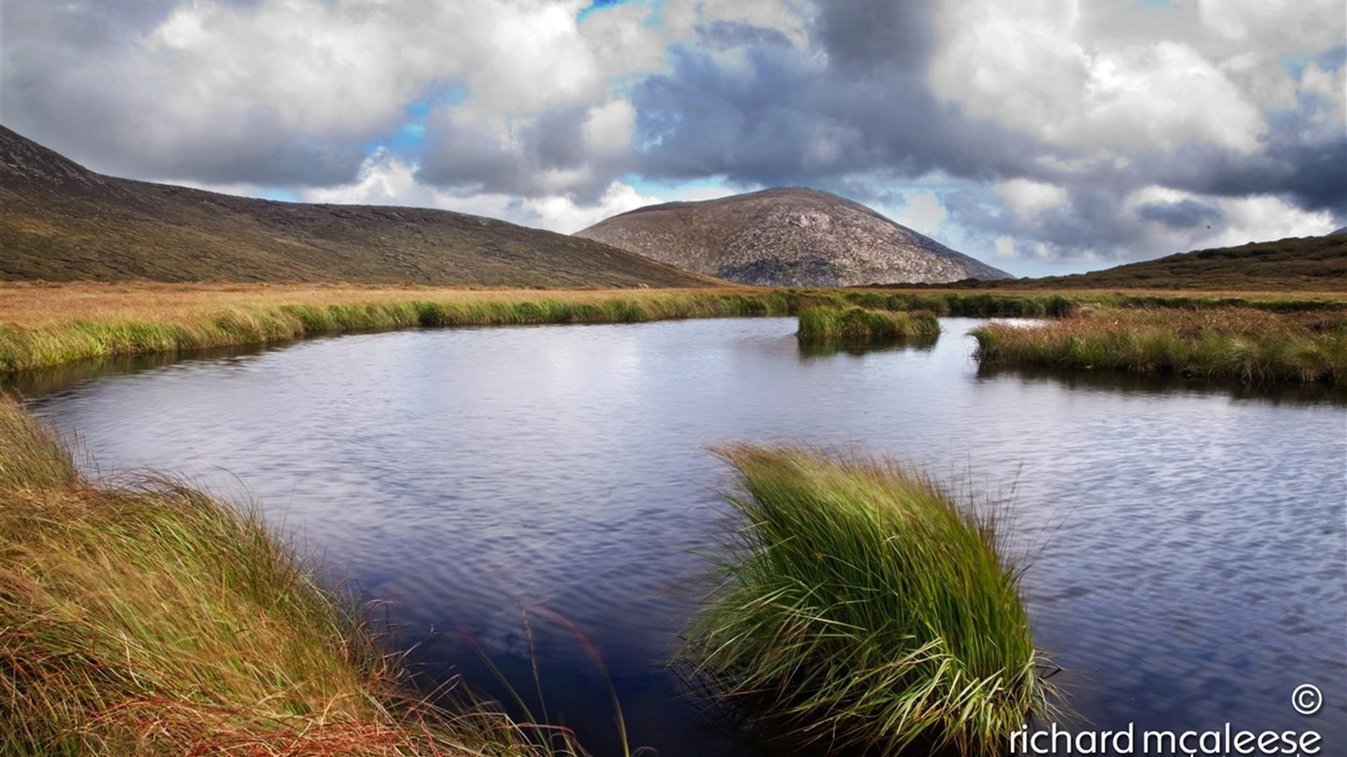
A moderate circular walk in the High Mournes, summiting two of the seven highest peaks in the region, Slieve Meelmore and Slieve Meelbeg.Start Point:
J279279
Finish Point:
J279279
Route:
Cross the obvious stile on the opposite side of the road from Ott car park. After 150m the stony track splits in two - take the upper path and continue along the obvious track ascending to the col between Slieve Loughshannagh and Carn Mountain where you will meet the Mourne Wall. At the wall turn left and follow the Mourne Wall up the summits of Slieve Loughshannagh (619m) and Slieve Meelbeg (708m), up to the summit of Slieve Meelmore (687m). Retrace your steps 300m back down Slieve Meelmore to the wall intersection and descend into the valley using the right hand wall at this intersection. Continue to where the wall meets a walking track and river and follow the river downstream, following the walking trails on either side. At the bottom of the valley pick up the Ulster Way, before reaching a pocket of evergreen woodland, follow this in a south westerly direction passing Fofanny Dam after 750m. The Ulster Way emerges onto the Slievenaman Road. Turn left and continue for 800m along the road back to Ott car park.
Distance:
5.5 miles
Terrain:
Unsurfaced tracks, mountain path
Point of interest:
Slieve Loughshannagh, Slieve Meelbeg, Slieve Meelmore, Fofanny Dam, the Mourne Wall
Facilities:
Car park and picnic facilities available at Ott car park.
Publication:
None.
Nearest town:
Hilltown
OS map:
29
Accessible terrain:
no
Accessible signage:
no
Book Tickets
Facilities
Provider Preferences
- Free (parking charges may apply)


