Book Tickets Online
About
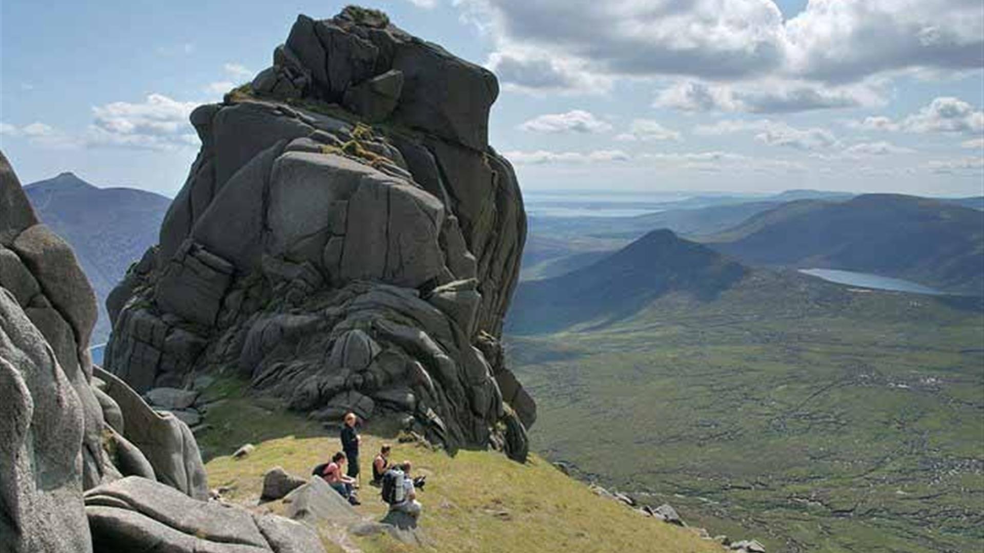
Slieve Bearnagh (739m) is one of the most distinctive mountains in the Mournes and is renowned for the granite tors on its summit.Slieve Meelmore (704m) is also included in this walk, creating a circuit with superb views on a good day stretching as far as the Sperrins, Lough Neagh and Strangford Lough.
With the Mourne Wall to use as a handrail on the higher parts of the mountain, navigation is relatively straight forward and the only compass work needed in bad weather is for the descent off Slieve Meelmore.
Start Point:
J312314
Finish Point:
J312314
Route:
From the car park, turn left onto Trassey Road and look straight ahead where you will see the start of Trassey Track. Go through the double gates or use the stone stile. Be careful not to go down the ungated track on the left immediately before this, as it leads into Tollymore Forest. A sign for the Trassey Track and markers for the Mourne Way indicate you are on the right trail. The track climbs gently beside Clonachullion Wood, becoming rougher underfoot as you progress. Two further double gates with 'kissing gates' are passed through before you enter the wild terrain of the Mournes themselves. A stone wall can now be seen extending west around the base of Slieve Meelmore. Continue up Trassey Track which winds through a couple of gentle switchbacks before climbing under Spellack's crags and flattening out as you reach the head of the valley. Slieve Bearnagh looms large at the head of the valley on the right hand side and the track soon forks as paths veer left and right around its flanks. Keep left and begin to climb, crossing rougher terrain underfoot. This section ends at the col known as Hare's Gap which is bisected by the Mourne Wall. Climb over the stile, turn right and follow the wall. The climb up Bearnagh is steep and continous and begins with a set of stone steps. The slopes soon steepen again and do not relent until you arrive at the rock outcrops of the North Tor. Continue to follow the Mourne Wall across the shallow col separating Bearnagh's twin tops. A short climb now leads to the huge summit Tor. Follow the wall down from the top of Bearnagh to the col beneath Slieve Meelmore. The climb to the top of Slieve Meelmore is steady for around 500m, all the way to the angular stone shelter that adorns the summit. When you start up the wall from the col - keep to the wall furthest to the right. After reaching the summit of Slieve Meelmore follow the Mourne Wall down to reach the wall intersection and follow the right hand wall descending into the valley until you meet another wall (marking the field boundary). Turn right and follow this path to the Trassey Track, then turn left and retrace your steps back to the start.
Distance:
6 miles
Terrain:
Rugged paths, open mountain
Point of interest:
Views from both summits
Facilities:
Car Parking in Trassey car park - free Meelmore Lodge - secure car park (charge), coffee shop, toilets & showers, camping and hostel. Refreshments & knitwear at Turnip House (approx. 600 yards along path to Tollymore Forest from start).
Publication:
None
Nearest town:
Newcastle
OS map:
Sheet 29
Accessible toilet facilities:
Yes
Accessible terrain:
Rough tracks and open mountain terrain
Accessible signage:
There is no signage on route, use of a map is required to navigate this route
Book Tickets
Facilities
Provider Preferences
- Free (parking charges may apply)


