About
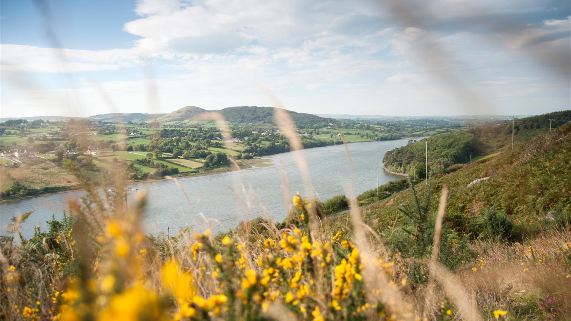
Camlough (Camloch, meaning 'crooked lake') is small village five kilometres west of Newry in County Armagh, Northern Ireland. The village is named after a lake, known as Cam Lough which is about 90 acres in extent. South of the village is Camlough Mountain which is part of the Ring of Gullion.
There is evidence of pre-Christian settlers in and around the village. Visitors will find Dolmens on Camlough Mountain ,The Hag's Chair in Lislea and the Ballykeel Dolmen.
Camlough was once an ecclesiastical district in the Barony of Upper Orior and was part of the O'Hanlon's country. At the time of the Plantation of Ulster, 1000 acres of 12 townlands were granted to Henry McShane O'Neill and the village was developed during this period.
Camlough village is in the townland of Cross, referring not to a stone monument but to the village crossroads in the north of the townland. In 1620 Camlough Mountain was known as Sliabh na Croise, meaning 'Mountain of the Cross'.
Facilities
Accessibility
- Designated parking provided for guests with disabilities
Establishment Features
- Accommodation nearby
Leisure Facilities
- Outdoor activities
Parking & Transport
- Parking Areas for Disabled Visitors
Payment Methods
- All major credit/debit cards accepted
Provider Preferences
- Village Location


