Book Tickets Online
About
Ship Canal
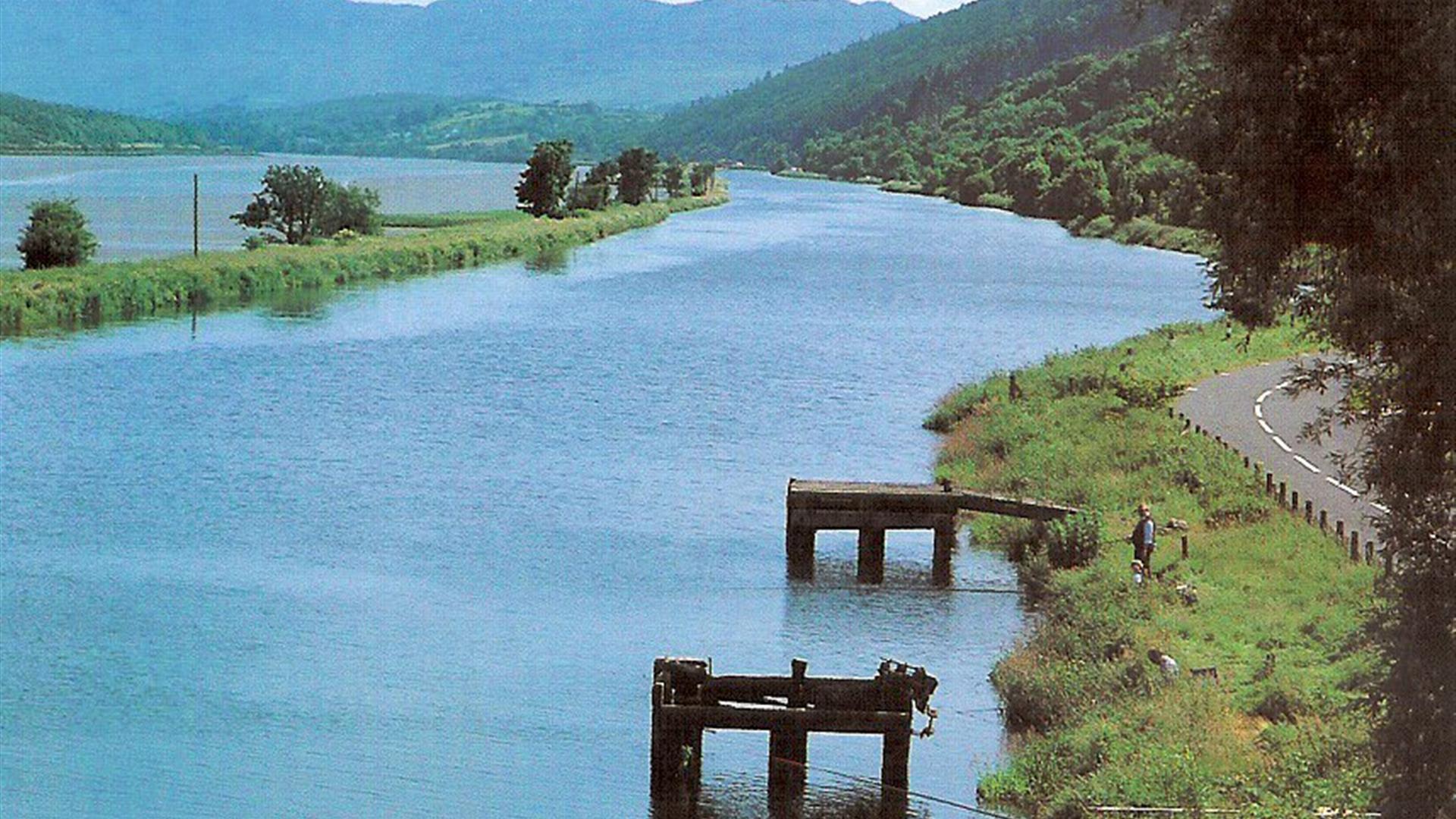
Fish in historic surroundings along the British Isles' first ever ship canal. The Canal opened for traffic in 1742 and only ceased operation in 1976.
Business may be dead but the waters are alive. The fishable section, which runs for 3.5 miles from Newry to sea locks on the Omeath Road, has become an excellent coarse venue and hosted the World Coarse Angling Championships.
Albert Basin & Victoria Lock: Present Day
Newry Ship Canal is currently used by leisure craft and as a means of accessing Newry City from the Irish Sea via Carlingford Lough and passing through the commercial shipping port of Warrenpoint. It is entered on its seaward approach via Victoria Lock, which was automated in May 2007 (please note that this is a Controlled Automation process undertaken by booking in advance).
A hydrographic survey has been completed on the approaches to Victoria Lock from Warrenpoint and the channel marked with several lighted buoys to enhance safety of navigation.
Newry Canal’s harbour area, the ‘Albert Basin’, provides a deep-water Quay for visiting craft as well as a wildlife sanctuary for a range of wildfowl and other species. The 'Basin' is situated in the heart of Newry’s vibrant retail centre near the Buttercrane and Quays shopping centres. The area also offers the visitor a host of attractions including a variety of pubs, restaurants and many places of both historical and architectural interest.
Facilities
The Albert Basin provides tie-up mooring facilities at bollards positioned in front of the Quays shopping centre, with an overall Quay length of Approx. 186 metres.
Electricity and water is not available except in exceptional circumstances and subject to approval by Newry, Mourne and Down District Council. If approval is granted electrical cables must not be left connected to the electricity supply when the boat is unoccupied. The electrical cable between the electrical box and the boat is solely the responsibility of the boat owner.
Visitor Information
• There are no height restrictions for vessels, entering the Lock Chamber or the Albert Basin.
• A Maximum Speed of 4 knots should not be exceeded in the Ship Canal.
• The boat must be navigated by a competent person at all times.
All vessels entering the Lock Chamber and Ship Canal, must have and provide a Minimum of £5 million Public Liability Insurance and include adequate salvage/wreck removal insurance.
Access to Victoria Lock is tidal. Those boats delayed on their prearranged passage to the Lock Chamber and who miss the tide, are asked to tie-up at Warrenpoint Breakwater and inform the council of their delay.
Booking of Berths (arrivals and departures)
Advance bookings of at least 72 hours prior to arrival should be made with Visitor servicing team.
The Visitor servicing team will provide you with a booking form and other useful documentation. The booking form should be completed, signed and returned to the Visitor servicing team no later than 72 hours prior to planned arrival or departure time.
Visitor Services office hours are Monday to Saturday via e-mail visitorservices@nmandd.org or telephone 0330 137 4046.
Berthing Charges
| Annual | £527.05 |
|---|---|
| 6 Months | £316.15 |
| 1 Month | £105.45 |
| Up to 1 week | £31.75 |
Please note these fees include for one entry and exit through Victoria Lough at times agreed by Newry, Mourne and Down District Council.
If more than one entry or exit is required additional charges apply. All fees must be paid in full in advance. A receipt will be issued for all fees paid.
General Marine Information
The Albert Basin is situated in the City of Newry. It is reached by passing through the Victoria Lock and Newry Ship Canal. Victoria Lock is situated on the Southern shore of the Newry River, just under 2 miles upstream from the Port of Warrenpoint at the head of Carlingford Lough.
The Lock gates are operable 1 hour before to 1 hour after High water, but council limits their use to daylight hours.
Latitude and Longitude
The Victoria Lock is at position 54º 09’ N 6º 19’ W, just upriver from the Port of Warrenpoint 54º 06´ N 6 º15 ´W.
The entry to Carlingford Lough should be commenced from Hellyhunter Buoy (South Cardinal) at 54º 00.35´ N 6 º02.06´ W (Q(6)+LFl W 15s)
Restrictions
Despite the width of the ‘Albert Basin’ with its Ship Turning Area:
• The maximum size of vessel that can enter Newry Ship Canal is 200 ft (60 metres) in length x 33 feet (10 metres) in width, to suit the size of the Lock chamber at Victoria Lock.
• Maximum Depth of Water (Draft) at the Albert Basin is 11ft (3.3 metres)
Berthing Procedures for Newry Ship Canal and Albert Basin
Fishing
The sun filled summer months spur on algae, which improves roach and bream catches; while the colder waters of the winter months bring large pike to the canal. Anglers can also snare eels, perch and trout.
Fishing Methods: All legal fishing methods can be used but fishing from boats is not permitted.
Licence/ Permit Requirements: A Foyle, Carlingford and Irish Lights Commission licence is required.
Facilities
Parking & Transport
- On site parking
Guide Prices
Permit required for fishing


