

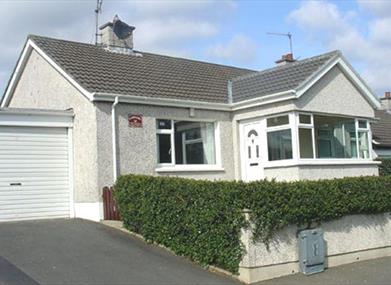
About
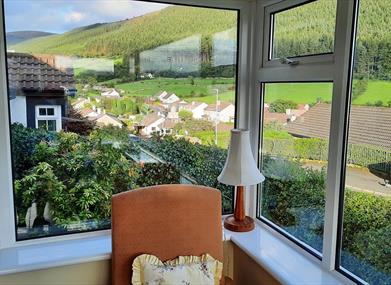
Lying within one mile of Tranquil Rostrevor, An Radhairc provides a panoramic view of the splendid Mournes and Cloughmore Stone viewing point.Within walking distance of Carlingford Lough, it overlooks the scenic landscapes which George Bernard Shaw referred to as 'more beautiful than the Bay of Naples and nature has smiled kindly upon that area’.
Rostrevor, at the foot of the Mournes provides for recreational activities for all ages including its Kilbroney Forest Park with nature walks, picnic areas, local restaurants, mountain walks or leisurely walks along the shore of Carlingford Bay. Bookings only available Saturday to Saturday.
In 2015 An Radhairc were awarded a Bronze Award in the Green Tourism Business Scheme.
'An Radhairc' meaning: The View of the adjacent Mourne Mountains.
Facilities
Children & Infants
- Cot & Highchair Available
Establishment Features
- Private Garden
Leisure Facilities
- Wifi
Parking & Transport
- On site parking
Payment Methods
- Euros accepted
Provider Preferences
- Dogs Welcome Outside
- Electricity Extra
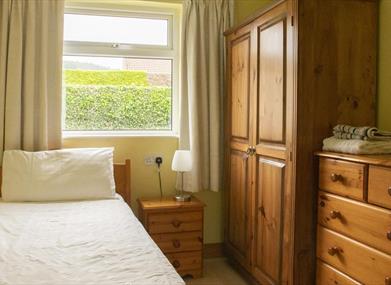
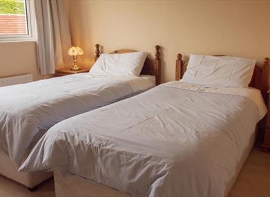
Room / Unit Features
- DVD Player
- Ground floor bedrooms available
- Hairdryer Available
- Ironing Facilities
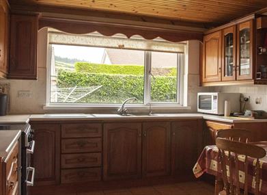
- Microwave
- Tumble Dryer
- TV
- Washing Machine


